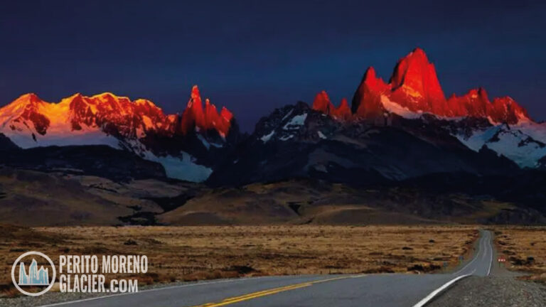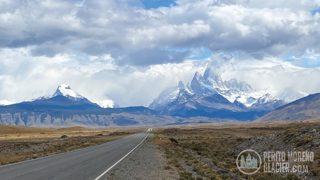

Mount Fitz Roy, also known as Cerro Chaltén, rises on the southern Andes along the Argentina–Chile border. Inside Argentina’s Los Glaciares National Park, it is one of the world’s most demanding climbs because of its remote access, fast-changing weather, and highly technical routes.
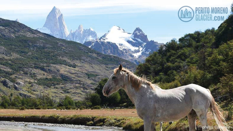
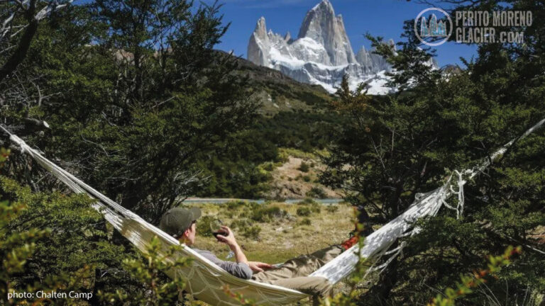
This granite peak reaches 3,405 m (11,171 ft). It was named in honor of Robert Fitz Roy, the British naval officer who captained the HMS Beagle in the 1830s. Its slender summit, steep rock faces, and ice-cloaked ridges often sit wrapped in clouds, creating dramatic views that draw hikers, photographers, and climbers from around the globe.
The wider Fitz Roy area is spectacular, with glaciers, lakes, native forests, and rivers within the park. Wildlife frequently spotted includes Andean condors, guanacos, pumas, and Andean foxes. Nearby stands the legendary Cerro Torre, another benchmark for elite alpinism.

El Chalten Full Day Tour from El Calafate
Enjoy a day tour in El Chalten from el Calafate. An amazing tour in the Argentinian Patagonia.
Mount Fitz Roy: a bit of history
European explorers recorded the mountain in 1877 during a mapping expedition led by Argentine explorer Francisco Pascasio Moreno. A few years later, in 1880, Moreno proposed the name Fitz Roy to honor the captain of the HMS Beagle, the ship that carried Charles Darwin through Patagonia in the 1830s.

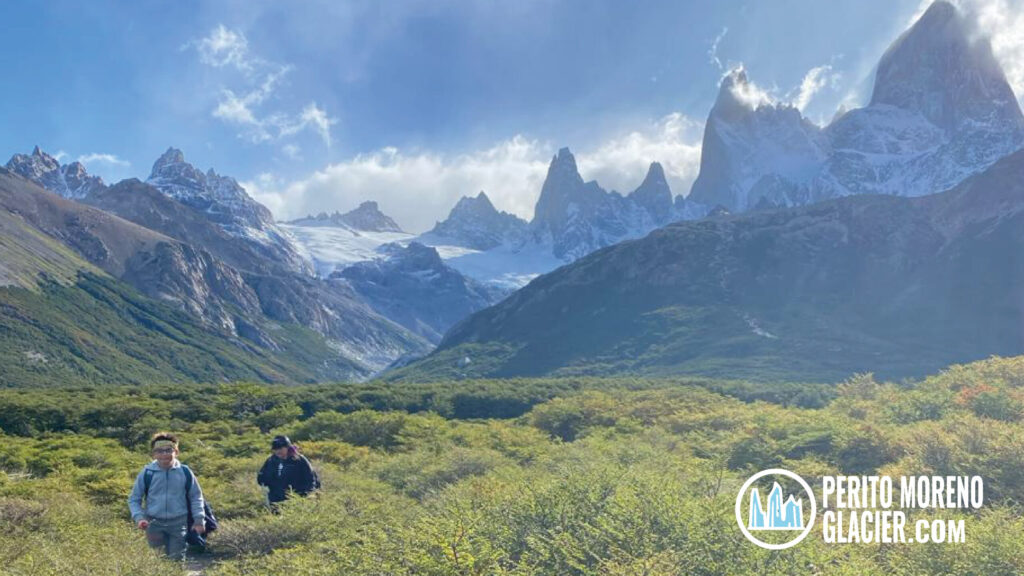
Hike to Laguna de Los Tres (Fitz Roy Massif) from El Chalten
Enjoy the main trekking in the area as it leads us to the foot of the mythical Mount Fitz Roy.
Fitz Roy Massif: main peaks
The Fitz Roy Massif lies along the Southern Patagonian Ice Field, straddling the international border. It groups a series of sharp granite towers and buttresses with committed, technical lines.
- Fitz Roy / Cerro Chaltén: 3,405 m (11,171 ft)
- Poincenot: 3,002 m
- Saint-Exupéry: 2,850 m
- Mermoz: 2,800 m
- Guillaumet: 2,700 m
- North and South Towers: ~2,800 m and ~2,600 m

Popular treks from El Chaltén
El Chaltén is Argentina’s hiking hub, with well-marked trails that start right from the village and lead to panoramic viewpoints of Fitz Roy, Cerro Torre, and surrounding valleys.
- Laguna de los Tres24 km round trip, 8 to 10 hours. The classic hike to the most famous viewpoint of Mount Fitz Roy and its needles.
- Laguna Torre20 km round trip, 6 to 8 hours. Leads to the base area of Cerro Torre, with glacier and lagoon scenery.
- Loma del Pliegue Tumbado20 km round trip, 6 to 8 hours. Wide-angle vistas over the Fitz Roy and Torre valleys, lakes, and glaciers.
- Piedra del Fraile10 km round trip, 4 to 5 hours. Forest walk along the Río Eléctrico to a scenic mountain refuge.
- Cerro Huemul~12 km round trip, 8 to 10 hours. Demanding outing with views of Lake Viedma and surrounding ice fields.
More information about treks in El Chaltén